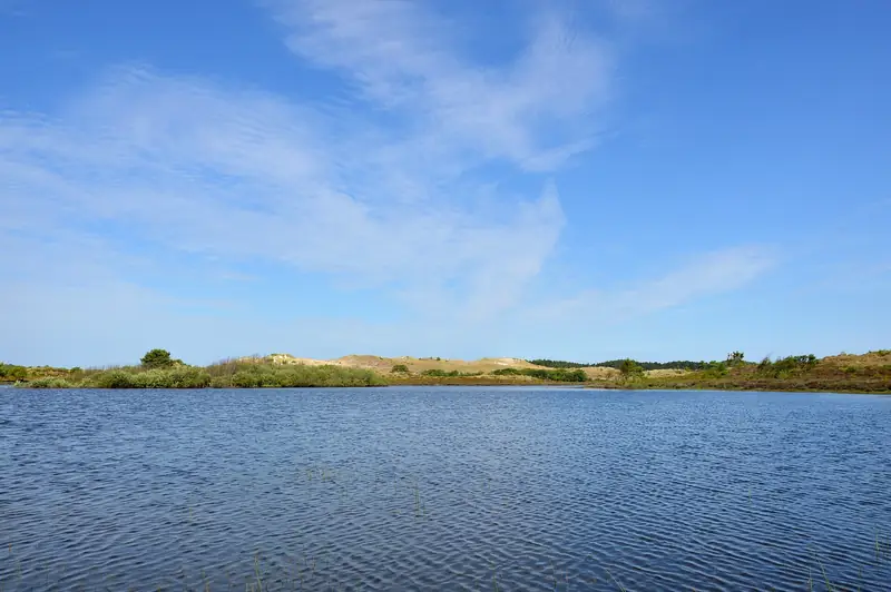
natuur
How high is the highest dune in the Netherlands, really?
The highest dune top in the Schoorlse Duinen is the Catrijper Nok, at 55.4 metres above NAP. The Klimduin in the middle of the village is 51 metres and is the best known, but not the highest. A third point on the map, labelled 'highest dune of the Netherlands', stands at 53 metres.
Schoorl has advertised the highest and widest dunes in the Netherlands for decades. That is true, but as soon as you ask which dune is exactly the highest, the map gives three different answers.
The three candidates
| Point | Height | Where |
|---|---|---|
| Catrijper Nok | 55.4 m | above Catrijp, eastern part |
| “Hoogste duin van Nederland” | 53 m | 52.704, 4.685 |
| Klimduin | 51 m | in the middle of the village |
| Schoorlse Nok | 48 m | further south in the area |
| Zwarte Blink | 31 m | to the west, towards the sea |
All five are listed in OpenStreetMap with their own height value, including the point literally labelled “Hoogste duin van Nederland” (“highest dune of the Netherlands”). The Catrijper Nok wins at 55.4 metres, and it is also the only one with its own Wikipedia article and Wikidata item.
Why the Klimduin is still the best known
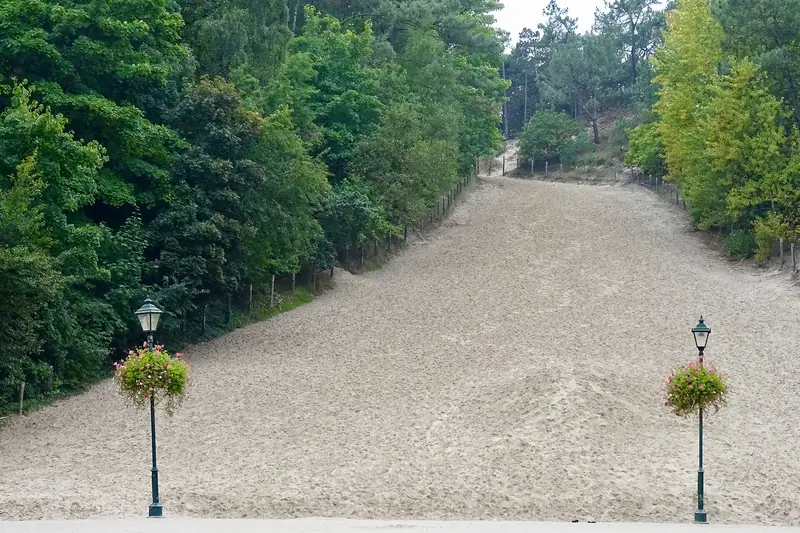
Because you are allowed on it. The Catrijper Nok lies in vegetated dune where you stay on the paths, while the Klimduin is a bare sand slope that ends literally in the high street. You park ninety metres away, walk onto the square and stand at its foot. That explains why everyone takes the Klimduin for the highest point: it is the only tall dune you reach the top of without any effort.
Where the figures go wrong
Note the difference between the height of a dune and the height of a point above NAP (Normaal Amsterdams Peil, the Dutch ordnance datum, roughly mean sea level). The Klimduin is also listed in OpenStreetMap as a viewpoint, at 35 metres. That does not contradict the 51 metres: one figure describes the summit above NAP, the other probably the height measured from the surrounding ground level. Anyone who sees both figures side by side without knowing where they come from wrongly concludes there is an error somewhere.
On this site we hold to 51 metres for the Klimduin and 55.4 metres for the Catrijper Nok, with the source alongside. Where a figure cannot be traced, it does not appear.
What this article covers
Catrijper Nok
At 55.4 metres the Catrijper Nok is the highest dune in the Netherlands and the highest point in the province of Noord-Holland, taller than the better-known Klimduin at 51 metres. It stands in the Schoorlse Duinen (the Schoorl dunes), managed by Staatsbosbeheer, with a stairway of 249 steps to the top.
Klimduin
The Klimduin is a dune 51 metres high and roughly 110 metres long, in the middle of the village of Schoorl on the edge of the Schoorlse Duinen (Schoorl dunes). There is no entrance fee, and since May 2025 a bronze statue of Teun de Jager has stood at its foot.
Schoorlse Duinen
The Schoorlse Duinen (Schoorl dunes) hold the highest dune in the Netherlands: the Catrijper Nok, 55.4 metres, with a staircase of 249 steps to the top. The area belongs to Staatsbosbeheer, is open all year round and has more than 60 kilometres of walking paths.