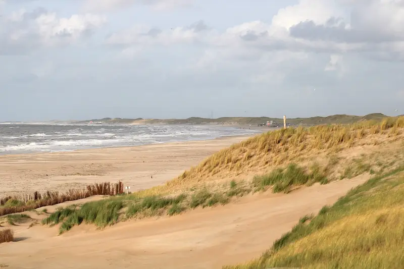
Petten: free parking, a broad beach and 160 posts
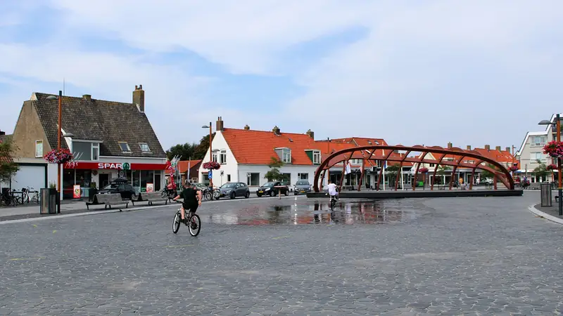
Petten is a village of 1,625 inhabitants in the gemeente Schagen, at the northern end of the Hondsbossche Zeewering sea defence. Parking is free, and the most searched-for thing in Petten stands outside the village: the Palendorp, 160 posts in the shape of ten houses and a church.
Petten lies against the northern end of the Hondsbossche Zeewering (the Hondsbossche sea defence) and falls under the gemeente Schagen (Schagen municipality), not under Bergen. That difference decides what you pay here and what your dog is allowed to do. Camperduin lies 4.8 kilometres further south, measured in a straight line, and there the rules are different.
For your bearings: this is the far north of the province of Noord-Holland. Alkmaar, the nearest city, lies about 16 kilometres to the south-east and Amsterdam roughly 48 kilometres in the same direction, both as the crow flies. The drive we have not measured.
What is the Palendorp?
One hundred and sixty posts, six to twelve metres high, set in the shape of ten houses and a church. The name means post village. It stands at 52.76732 / 4.65179, about 740 metres west of the village centre as the crow flies, on the sea side.
In Google the Palendorp is searched for more often than the beach and the campsites of Petten put together. Who made it, when it arrived and whether a path runs to it that works with a pushchair, is not in the sources we have been able to check.
Where can you park?
Free, on the Strandweg or the Korfwaterweg for instance. Petten belongs to Schagen and so falls outside the paid parking zones of the gemeente Bergen. Those apply only in Bergen, Schoorl, Bergen aan Zee, Egmond aan Zee and Hargen aan Zee.
That is the practical argument for starting here instead of further along the coast. Drive south and you pay 1.00 euro per 30 minutes at the private car park in Camperduin, and 2.45 euros per hour in Hargen aan Zee, 6.4 kilometres from here as the crow flies.
How many spaces there are in Petten and how quickly they fill up on a warm Sunday, we have not counted.
What is the beach at Petten like?
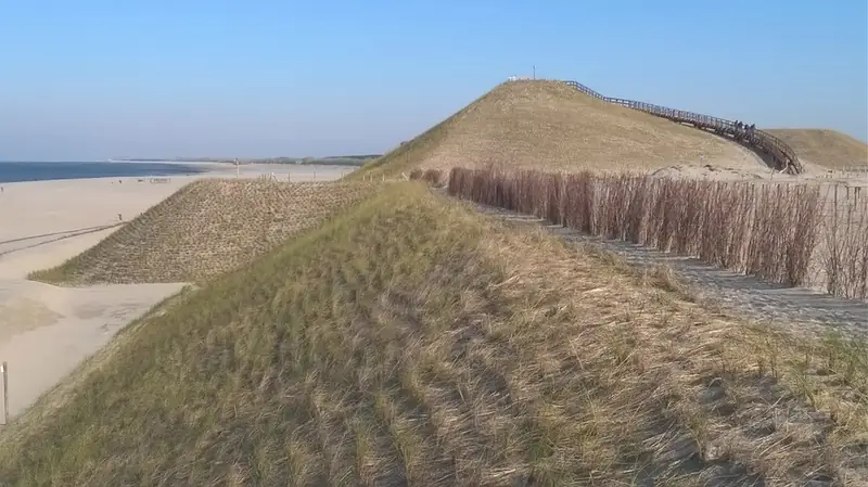
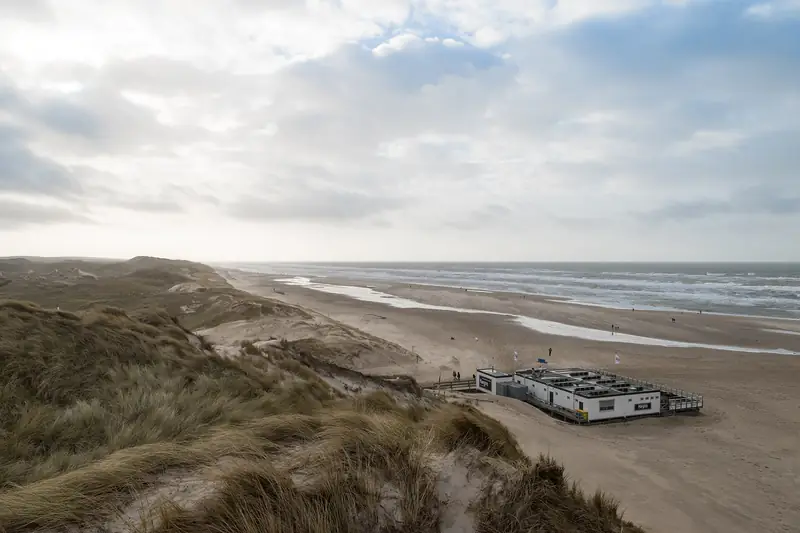
Broad, and younger than it looks. The sand in front of Petten belongs to the Hondsbossche Duinen: between 2013 and 2015 sand was dumped over the old basalt dyke, so that a beach and dune area about 300 metres wide now lies in front of the coast. The dyke itself is still there, underneath.
That dyke is 5.5 kilometres long and runs from beach post 26 at Camperduin to about post 20 at Petten. Those numbered posts, strandpalen, run the length of the Dutch coast and are how people here say where they are. Walk from one end to the other and you cover that whole distance over what used to be stone.
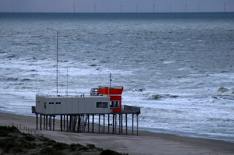
There is a post of the reddingsbrigade, the volunteer lifeguard service, on the beach. In which months and between what hours it is manned, we have not been able to establish.
Can the dog run off the lead on the beach?
From 1 April to 1 October, not between 09.00 and 19.00. In those hours Schagen requires a lead of no more than 1.5 metres. Outside those months and outside those hours he may run free.
Watch out if you set off walking southwards. Halfway along the beach to Camperduin runs the municipal boundary. Bergen starts there, and there the dog may in fact run free from 1 May to 1 October before 10.00 and after 19.00. In April it is therefore the other way round from what you would expect: on the Petten side on the lead, on the Bergen side off it. Check the beach rules of both municipalities before you leave, because Bergen is changing its own on 1 January 2027.
Why does Petten lie here and not on the sea?
Because the sea washed the old village away. On the night of 18 to 19 November 1421 the Sint-Elisabethsvloed (St Elizabeth’s flood) swept away the narrow coastal dunes here. The population fled to the higher-lying church of Petten, which collapsed all the same. About 400 people of Petten died, three survived.
After that the coast kept losing ground: between 1506 and 1792 another 1,200 metres of coastal strip was surrendered to the sea. The dyke between Petten and Camperduin, the Hondsbossche Zeewering, is the answer to that gap in the line of dunes. The village you see now stands behind it.
Where is the Panoramaduin?
At 52.77335 / 4.65880, about 590 metres north-west of the village centre as the crow flies and a good 800 metres from the Palendorp. It is listed as a viewpoint in OpenStreetMap and has its own Wikidata item, Q124326971.
How high the dune is, whether steps or a path run to the top and whether it stays open in winter, we have not been able to verify. We do not put a number next to it that we have not measured.
How do you get there without a car?
In high season the Kustbus (coast bus), line 851, runs from Den Helder railway station to this coast. Which lines serve Petten outside high season and where exactly the stop is, we have not checked. If you come from the south along the beach or over the sea defence, it is almost five kilometres from Camperduin on foot or by bike.
Eating and sleeping here
Eating in Petten
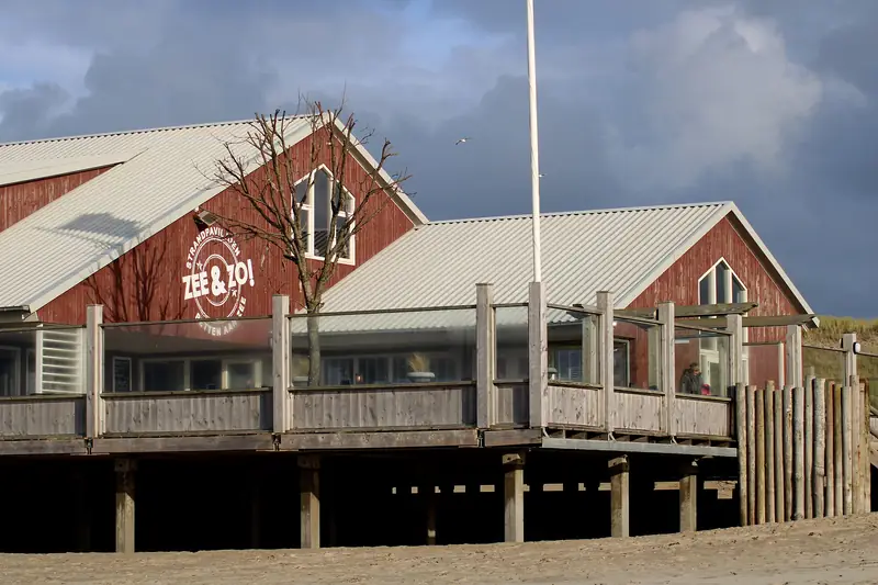
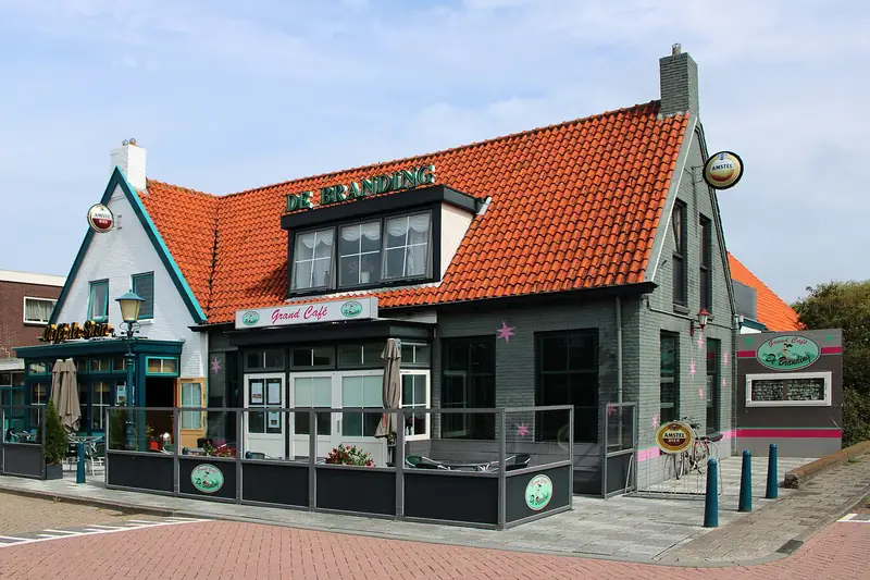
Petten has few places to eat, and to be honest that is the heart of the village: it is not a night out, it is somewhere you come for the sea defence, the broad beach and the quiet. Anyone who wants more choice drives to Callantsoog or Schoorl.
Sleeping in Petten
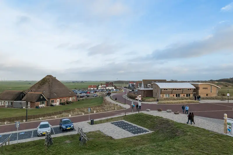
Petten runs on campsites and holiday homes; hotel rooms are thin on the ground. The village lies at the northern end of the Hondsbossche Zeewering sea defence, and the beach is noticeably emptier than at Egmond or Bergen aan Zee further down the coast.
More photos
To the beach


Nature nearby
Panoramaduin
The Panoramaduin is a viewpoint on the seaward side at Petten, roughly 590 metres as the crow flies north-west of the village centre and a good 800 metres from the Palendorp. It is listed as a viewpoint in OpenStreetMap and has its own Wikidata item, Q124326971. How high it is appears in no source we could check.
0.6 km
Palendorp
The Palendorp is an artwork of 160 poles between six and twelve metres tall, set in the shape of ten houses and a church, on the beach west of Petten. Who made it and when it appeared is not in any source we have been able to check.
0.7 km
Hondsbossche Zeewering
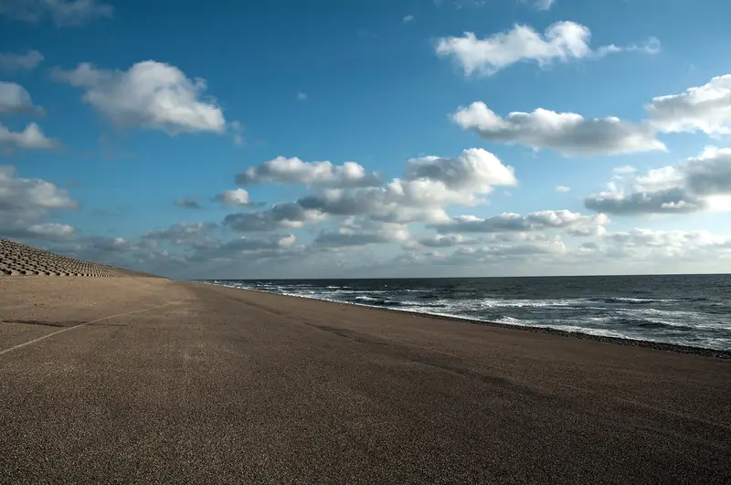
The Hondsbossche Zeewering is a 5.5 kilometre dyke between Camperduin and Petten, raised to delta height in 1981: 11.5 metres above NAP. Since the reinforcement of 2013-2015 the basalt dyke lies entirely under the sand, with a beach and dune area 300 metres wide in front of it.
2.8 km