From Schoorl to Camperduin: 8.6 kilometres along the node network
From cycle node 45 in Schoorl to the beach entrance at Camperduin is 8.6 kilometres, over nodes 45, 47, 46 and 20 and entirely on surfaced cycle path. The way back via Groet is shorter, 4.7 kilometres, so the full round comes to roughly 13.3 kilometres.
Four signs and you are there: 45, then 47, then 46, then 20. Those are fietsknooppunten, the numbered junctions of the Dutch cycle node network, which you follow number by number instead of by street name. From node 20 you carry on in the direction of 39, and after 1.2 kilometres you are at the beach entrance at Camperduin. The first 3.8 kilometres is one road, the Schoorlse Zeeweg, straight through the Schoorlse Duinen (the Schoorl dunes).
Where does the route start?
At node 45, on the Heereweg in Bregtdorp, roughly 470 metres north of the heart of the village of Schoorl. There you turn straight onto the Schoorlse Zeeweg. It is not a starting point with an information panel or a car park of its own, just a node post beside the road.
If you would rather begin at a car park, ride on to node 47 by the Buitencentrum Schoorlse Duinen, the visitor centre, and Bospaviljoen de Berenkuil. That saves you the first 1.6 kilometres.
How long is it really?
8.6 kilometres from node 45 to the beach entrance at Camperduin. In sections:
- 45 to 47 (Berenkuil): 1.6 km
- 47 to 46: 2.2 km
- 46 to 20 (Hargen): 3.6 km
- 20 to the beach entrance at Camperduin: 1.2 km
We measured those figures on 6 September 2026 over the geometry of the node routes in OpenStreetMap. They are not on the signs in that form: an official distance table per section, from the province or the route agency, we have not been able to find. Count on a few hundred metres of leeway.
We do not give a cycling time. On this stretch of coast it is the wind that decides how long you take, not the distance.
How hard is the riding?
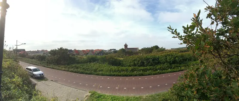
The surface does not make it hard. From node 45 to 46 you ride on asphalt cycle path; the section from 46 to 20 goes over the Schoorlse Zeeweg, the Hargerstrandweg and the Hargerzeeweg, also asphalt, with a short stretch of brick paving. Road bike, city bike, cargo bike: it all works.
What does make it hard are the dunes and the wind. The Schoorlse Zeeweg climbs and drops between the highest dunes in the Netherlands, and the stretch along the coast from Schoorl aan Zee to Hargen lies open. Exactly how much height gain you make, we have not been able to establish: there is no published elevation profile of this section, and measuring it ourselves with an elevation model gives figures too coarse in dune terrain to write down. The rating of average is therefore our judgement, not a measurement. If you look only at the 8.6 kilometres, it is easy.
Can the dog come along?
Yes, but in the Schoorlse Duinen on a lead from 1 March to 1 September, because birds nest on the ground. For the rest of the year Staatsbosbeheer, the Dutch state forestry service, allows him off the lead if he comes when called. A dog on a lead beside a cycling owner is a different matter from a dog on a lead beside a walking one, so bear that in mind on the narrow stretch between 47 and 46.
This may change. The province of Noord-Holland is working on a Natura 2000 management plan with a year-round lead requirement. Whether that has by now been formally adopted, we could not establish on 6 September 2026.
On the beach a separate regime applies per entrance, with zones and times. That is on the pages of the beach entrances themselves, not here.
Where do you park in Schoorl?
In the village, on the Oorsprongweg, the Molenweg or the Sportlaan, or at the Buitencentrum at Oorsprongweg 1. Parking costs 2.45 euros per hour. In zone A that rises after an hour and a half to 4.90 euros per hour with no daily maximum; in zone B it stays 2.45 euros with a maximum of 14.70 euros a day. From 1 March to 1 November you pay daily from 10.00 to 19.00, from 1 November to 1 March on Saturday and Sunday only. On winter weekdays you park free. Rates checked with ParkeerService of the municipality of Bergen on 6 September 2026.
Which of the two car parks at the Buitencentrum falls in zone A and which in zone B, we have not been able to establish. It is on the machine.
If you do it the other way round and leave the car in Camperduin, you are not in the municipal regime. That site is private, belonging to Hoeve Camperduin: 1.00 euro per 30 minutes, in winter as well, with a daily maximum of 7.00 euros in high season and 5.00 euros in low season.
What do you come across along the way?
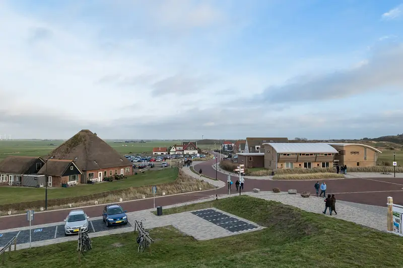
Node 47 lies 144 metres from Bospaviljoen de Berenkuil and the Buitencentrum Schoorlse Duinen, which stand on the same spot. That is the last coffee before the dunes.
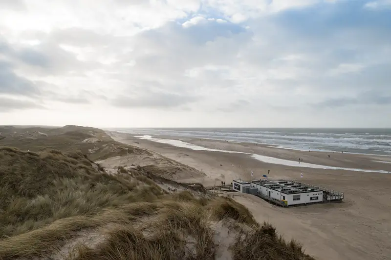
After that it is four kilometres of forest and dune until you reach the coast at Schoorl aan Zee. The path runs 63 metres past the beach entrance there and roughly 80 metres past beach pavilion Paal 29. Further on you pass the beach entrance at Hargen aan Zee at about 130 metres. In Camperduin you are practically at the door of beach pavilion Struin, 35 metres from the path.
Two well-known dunes come close without your touching them. The Klimduin lies roughly half a kilometre from the route; the Catrijper Nok, at 55.4 metres the highest dune in the Netherlands, a good 900 metres. For those you have to get off the bike. De Kerf lies 1.2 kilometres south of the point where you reach the coast, so that is a detour, not a stop along the way.
How do you get back?
Over nodes 20, 21 and 45, through Groet. From the beach entrance at Camperduin back to 20 is 1.2 kilometres, from 20 to 21 half a kilometre over the Harger Zeeweg (concrete cycle path), and from 21 to 45 another 2.9 kilometres over the Hargerzeeweg, the Achterweg and the Kerkbrink. Together 4.7 kilometres, which brings the whole round to roughly 13.3 kilometres.
That way back runs along the eastern side of the dunes, not through them: through Groet and over the Achterweg you stay at the foot. Less beautiful, and with a westerly wind a good deal friendlier than riding the outward leg a second time.
For anyone riding on rather than turning back: from Camperduin the node path continues to 39, over the Hondsbossche Duinpad along the sea defence towards Petten.
Part of: Everything about Schoorl · Highest dunes and planted pine forest