Wreck of HMS Prince George: a battleship under the beach at Camperduin
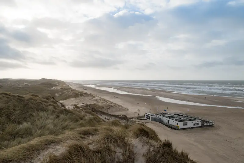
The wreck of HMS Prince George lies under the beach north of Camperduin. The British battleship ran aground on 28 December 1921 on groyne 24 of the Hondsbossche Zeewering, the sea defence there, and at the end of July 2014 disappeared under the sand pumped ashore for the coastal reinforcement. A line of poles on the beach marks the spot.
Beheerder
overig
Under the beach north of Camperduin lies a British battleship of 128 metres. On 28 December 1921 HMS Prince George ran hard aground on groyne 24 of the Hondsbossche Zeewering, the sea defence along this coast, on her way to a breaker’s yard in Germany. At the end of July 2014 the wreck disappeared under the sand of the coastal reinforcement. A line of poles on the new beach has marked the spot ever since.
Is anything of the wreck still to be seen?
That varies, and that is not an evasive answer. From 1921 to 2014 the ship stood out above the water. The Regionaal Archief Alkmaar, the regional archive, calls it for decades the most looked-at wreck in the Netherlands. At the end of July 2014 it went under the sand pumped ashore for the coastal reinforcement and there was nothing left to see.
Then it came back. The NOS, the Dutch public broadcaster, reported on 18 December 2024 that after storms and sand erosion parts of the ship were lying at the surface again. NH Nieuws, the regional news service, wrote on 4 August 2025 that the pieces of wreckage are to be seen on the beach at Camperduin more and more often, and that this shows how fast the coast is eroding there. OpenStreetMap is still on the old situation: since July 2024 the map holds that the wreck is not visible, neither at high water nor at low water.
What is sticking up above the sand on the day you stand there, we cannot establish. That depends on the last storm and the last sand replenishment. Do not go there to see a ship, go there to know where you are standing.
Where exactly is the wreck?
At 52.7343 north and 4.63964 east according to OpenStreetMap, roughly a kilometre north of the beach entrance at Camperduin and some hundred metres north of the beach access De Putten. Wikidata holds to a point that lies 45 metres further north. That difference says little: the ship is 128 metres long, it broke in two amidships, and the sand around it shifts.
On the beach stands a line of poles marking the grave of the wreck. By the path through the dunes there is, according to the Regionaal Archief Alkmaar, a post with a QR code that gives information about the ship. Whether that post is still there in September 2026 and whether the code still works, we have not checked.
How does a British battleship end up on the Hondsbossche Zeewering?
Through a tow that went wrong. The Prince George was launched in 1895 at the naval dockyard in Portsmouth, a pre-dreadnought of the Majestic class: 128 by 23 metres, 16,320 tons, a crew of 672. She fought at Gallipoli in 1915. By the end of 1916 she was obsolete, was stripped of her armour and guns and served on in England as a harbour and hospital ship.
In 1921 she went to a German scrapping firm. In December of that year two British tugs, the Joffre and the Ployer, towed the ship to Brake on the Weser near Bremen. Off the Haaks lightship near Texel they left the Prince George at anchor: they had too little coal and sailed back to England to bunker. A storm blew up, the anchor did not hold, and on Wednesday 28 December 1921 at half past six in the evening the ship ran fast on groyne 24.
On board were Captain Arthur Hayter and a small party of runners, ten men in all. They were taken off the next morning, after a line had been shot to the wreck with rockets. The ship lay with a list of forty degrees, her bow to the south.
On the date the sources differ. The English Wikipedia holds to 30 December 1921. The Regionaal Archief Alkmaar, which quotes the Alkmaarsche Courant of that week, and the Dutch Wikipedia name 28 December. We follow the local sources.
Was the stranding deliberate?
Not proven, but always suspected. The ship was well insured, the tugs left it at anchor in the middle of winter on the North Sea, and Captain Hayter stubbornly refused the help of a tug out of IJmuiden. The Regionaal Archief Alkmaar writes that the Scheepvaartinspectie, the Dutch shipping inspectorate, found it suspicious, but that hard evidence was lacking and no further investigation was opened. The rumours of insurance fraud are still going round a hundred years later. More than a rumour it is not.
What has been scrapped off the ship?
Almost everything that had value. Within a few days the ship had, according to the archive, been stripped by beachcombers of copper, nickel steel, teak and furniture. A man from Petten set up a stall by the wreck with refreshments for the disaster tourists.
The official salvage went on into the 1930s. The Amsterdam firm N.V. Electro was given the contract to dismantle the wreck in March 1923, although the Regionaal Archief Alkmaar dates the start of the breaking to 1925. A cable ropeway was built between a tower on the beach and the stern. On 12 May 1925 a Fokker biplane from De Kooy airfield flew into that steel cable: the pilot got away with light injuries, the aircraft was a write-off. In October 1927 the engineer in charge established that the bow section had sunk so deep that further salvage was unnecessary, because the wreck was protecting the sea defence. On 15 July 1931 the work was completed.
According to the Dutch Wikipedia the wreck is the property of the Hoogheemraadschap Hollands Noorderkwartier, the regional water authority, which also manages the sea defence. Whether the ship has protected status as a shipwreck or an archaeological monument, we have not been able to establish.
How do you get there and where do you park?
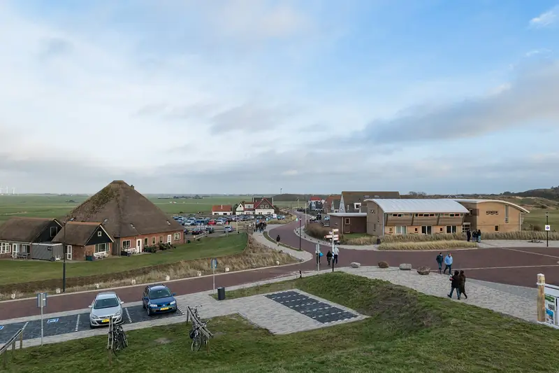
By the Hondsbosscheweg north of Camperduin. The Regionaal Archief Alkmaar points to the first car park along the old sea defence, with the information post about the ship at the beach entrance. OpenStreetMap maps a free car park for fifteen cars there by the De Putten nature area, and a beach access that comes out roughly a hundred metres from the site of the wreck. We have not counted that car park ourselves and have not checked the rates on the spot.
If you come from the paid car park at Camperduin, you walk there over the beach, roughly a kilometre northwards. By public transport you get off at the Camperduin stop on the Hondsbosscheweg, bus routes 151 and 410.
Is the wreck dangerous?
The municipality of Bergen told the NOS in December 2024 that the ship is in principle not dangerous, but did put warning signs beside it. Hulpstrandvonder Marco Snijders, deputy to the official beach warden, thinks signs are too thin and would rather see the wreck fully uncovered. He pointed out in August 2025 that the marechaussee, the Dutch military police, drive along the beach regularly and that before long you will hardly be able to get past it.
This is hundred year old, rusted-through steel in moving sand. Do not climb on it, do not let your dog run over it, and do not drive blindly past it in the dark.
Will this beach stay here?
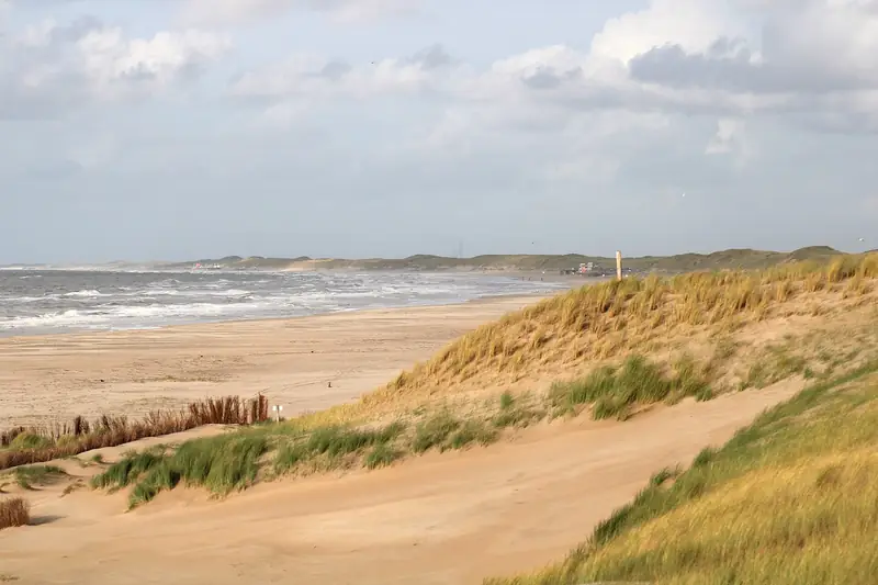
That is the question hanging over the whole area. The municipal executive of Bergen reported in June 2026 that the southern beach at Camperduin can be kept in place with the planned sand replenishments, but that a structurally accessible beach on the northern side is less likely. The wreck lies on that northern side.
Whether the Prince George will as a result come further into the open in the coming years, or disappear under the sand again, is not in those papers. We do not know either. What is certain: every time you see more of the ship, there is less beach.
Part of: Everything about Camperduin · Where the sea defence becomes dune