Hondsbossche Zeewering: the dyke that vanished under the sand
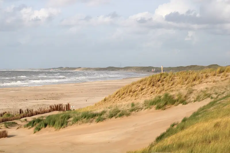
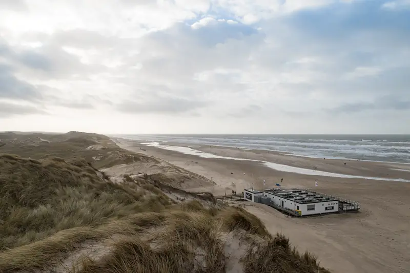
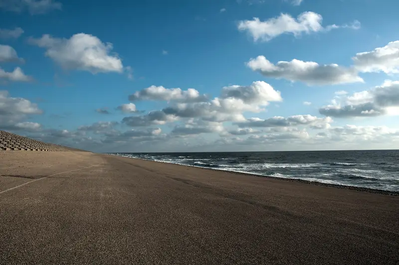
The Hondsbossche Zeewering is a 5.5 kilometre dyke between Camperduin and Petten, raised to delta height in 1981: 11.5 metres above NAP. Since the reinforcement of 2013-2015 the basalt dyke lies entirely under the sand, with a beach and dune area 300 metres wide in front of it.
Beheerder
Hoogheemraadschap
Hoogte
11.5 m
Oppervlakte
90 ha
The dyke runs from beach marker 26 at Camperduin to roughly marker 20 at Petten. The groynes that shaped the look of this coast for decades lie under the sand, as does the basalt facing itself.
Where can you park?
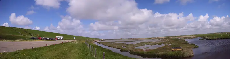
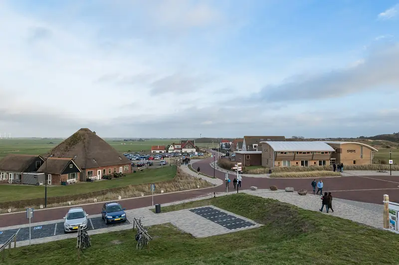
At Camperduin on the private site opposite Heereweg 403: 1.00 euros per 30 minutes, with a daily maximum of 7.00 euros in high season and 5.00 euros in low season. You pay cash or by card at the machine. It is about 300 metres to the beach and the lagoon. In zone F (Hargen) the municipality of Bergen charges 2.45 euros an hour, daily maximum 7.35 euros. On the Petten side parking is free, on the Strandweg or the Korfwaterweg for example.
Can the dog run free?
That depends on which side of the dyke you are standing on, because the municipal boundary runs right through it. Camperduin and Hargen fall under Bergen: from 1 May to 1 October the dog may run free before 10.00 and after 19.00, in winter all day. Petten falls under Schagen: there a lead is compulsory from 1 April to 1 October between 09.00 and 19.00, with a lead of at most 1.5 metres. Walk from Camperduin to Petten in April and the dog goes on the lead halfway.
Where does the name come from?
Not from dogs. Until the Allerheiligenvloed (All Saints’ Flood) of 1570 a wood stood here, the Hondsbosch, about one ‘hond’ in size: an old unit of area of around 0.1 hectares. On the night of 18 to 19 November 1421 the Sint-Elisabethsvloed (St Elizabeth’s Flood) washed the narrow coastal dunes away. The people fled to the higher-lying church of Petten, which collapsed all the same. About 400 inhabitants of Petten died, three survived. Between 1506 and 1792 another 1,200 metres of coastal strip was given up to the sea.
What else is there to see?
The lagoon at Camperduin is openly connected to the sea and has been designated bathing water since January 2025; the water quality is good. On the Petten side stands the Palendorp (pole village): 160 poles six to twelve metres high, in the shape of ten houses and a church. The Piramideduin next to it is 26 metres high and can be climbed. North of Camperduin lies De Putten, named after the clay pits dug to strengthen the sea defence, with the Hargermolen of 1804 out in the open field.
How do you get there without a car?
The Camperduin bus stop is on the Hondsbosscheweg, lines 151 and 410. On the Petten side the Kustbus (coastal bus, line 851) runs in high season from Den Helder station.
The green Verenigde Polderroute from the Camperduin starting point, 8.5 km, is entirely closed to dogs. With a dog you take the yellow Hondsbossche route of 3.21 km or the blue Zeeweringroute of 4.8 km.
Part of: Everything about Camperduin · Where the sea defence becomes dune