De Fuik: the viewpoint dune with the stairway in the dunes near Bergen
De Fuik is a viewpoint dune in the Noordhollands Duinreservaat, the North Holland dune reserve, 1.7 kilometres west of the village of Bergen as the crow flies. A stairway runs to the top, which according to the AHN, the national elevation model, sits just over 21 metres above NAP. The site belongs to PWN, so from the age of 18 you carry a dune pass here.
Beheerder
PWN
Hoogte
20.5 m
A dune of a good twenty metres with a stairway cut into it, in the middle of the dune area near Bergen, a village on the coast of Noord-Holland, the province directly north of Amsterdam. From the top you look out over heath and woodland, not over the sea. You are standing on PWN land, and that means there is something to arrange before you go.
Where exactly is De Fuik?
At 52.67523 north and 4.67728 east. We checked those coordinates in OpenStreetMap: it is node 2975428530, mapped as tourism=viewpoint with the name De Fuik, last updated on 5 August 2021. They are correct, so we use them as they stand.
As the crow flies you are 1.7 kilometres from the village of Bergen, 3.5 kilometres from Bergen aan Zee, the coastal village of the same municipality, and 3.1 kilometres from Schoorl. De Fuik is often described as a point between Bergen and Bergen aan Zee, but that suggests it sits somewhere in the middle. It does not: the dune is close to Bergen, a good third of the way to the coast.
Watch what an address search hands back to you. OpenStreetMap ties this point to the Uilenvangersweg, but that is a PWN cycle path running some 280 metres away as the crow flies. There is no address you can park in front of.
How high is the viewpoint dune?
Roughly 21 metres above NAP (Normaal Amsterdams Peil, the Dutch ordnance datum, roughly mean sea level). We measured that figure ourselves in the Actueel Hoogtebestand Nederland, the national elevation model, through the open map service PDOK, in the half-metre ground-level grid: at the location of the OSM point it reads 21.1 metres, and a few metres further on the top of the dune sits at 21.5 metres.
The regional guide site Noord-Hollandse Duinen writes about “the 20.5 metre high dune”. That difference of half a metre we cannot explain, and which of the two figures is the height meant, we cannot say either. Count on a good twenty metres and you will be about right.
To be clear: this is not a Schoorl-scale dune. The Klimduin is 51 metres and the Catrijper Nok 55.4 metres. De Fuik is less than half of that.
Is there a stairway to the top?
Yes. OpenStreetMap has a stairway mapped, way 293966236, which on the south side ends exactly at the viewpoint itself. The mapped length is roughly 70 metres, and it comes up from the north, from an unpaved sandy track.
Along that same line the ground rises, according to the AHN, from about 7 metres at the foot to just over 21 metres at the top. So you climb some fourteen metres of height here. How many steps there are is not in OpenStreetMap and we have not been able to find it anywhere else. Whether the stairway is wooden or made of something else, and whether it can close during a storm or for maintenance, we could not find either.
What the map does say: wheelchair=no. Do not count on getting to the top here with a wheelchair or a pushchair.
Do not confuse De Fuik with the viewpoint dune at Duiningang Zwarteweg, the Zwarteweg dune entrance. That is a different point, opposite Skiclub Il Primo, with its own steep wooden stairway. Descriptions of that stairway are not about this one.
What can you see from De Fuik?
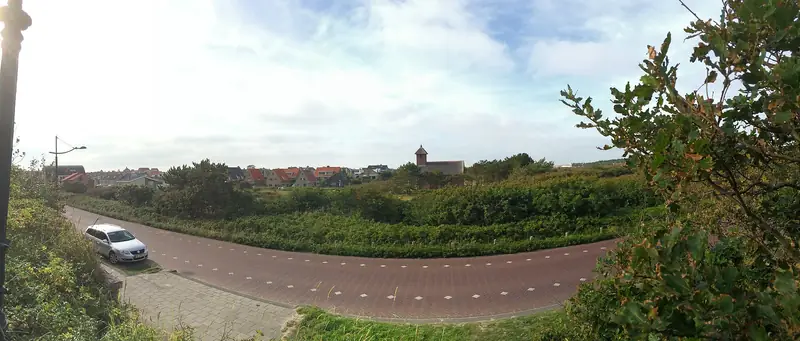
Heath and woodland. Noord-Hollandse Duinen writes about a view over the heathland and the woods, with footpaths winding through the landscape in the foreground. That fits what OpenStreetMap has around the dune: within 300 metres the terrain there is mapped as heath and scrub, with one patch of open sand.
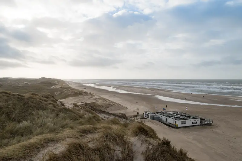
Whether you can see the sea from here, or the Grote Kerk of Alkmaar, the great church in the nearest city, we have not been able to establish. Views of that kind do get mentioned in travel writing about the dunes near Bergen, but we found no source that ties them to this dune. So do not assume you look out over the beach here: the coast is a good three kilometres away, with rows of dunes in between.
Where does the name De Fuik come from?
Wandelnetwerk Noord-Holland, the regional walking network, writes: “De Fuik is a place where fish were caught in the distant past.” A fuik is indeed a fyke net, a trap fish can get into but not out of.
We get no further than that. We have found no second, independent source that confirms it, no year, and no explanation of how you catch fish on a dune of twenty metres. That last point is not a cheap remark but the heart of the doubt: the story probably refers to wet ground at the foot of the dune, but that is not what it says. We leave it standing as what it is, a statement from a single source.
Do you need a dune pass?
Yes, from the age of 18. PWN’s own access rules put it like this: every visitor of 18 or older must carry a valid access ticket, unless official signs set out different rules. Children and young people under 18 do not need one.
Two other rules from that same list bear directly on your visit here. You may only be in the area between sunrise and sunset, so watching the sun go down and only then walking back is not the idea. And you may only be on the official PWN paths and play areas: off the path is forbidden. That you go up here by a stairway instead of ploughing up through the sand is therefore not a detail.
What a dune pass costs, we do not put here. The PWN dune pass page gives no price, only that the online passes for 1 and 3 years are cheaper than one from a machine or a sales point, and that there are 41 machines and sales points in the region. What is on the record in black and white: if you cannot show a valid dune pass, you risk a fine of 109 euros including administrative costs. Checked on 6 September 2026 at pwn.nl.
Can the dog come?
Yes, on a short lead. PWN writes that dogs are welcome on the paved and unpaved paths, unless official signs say otherwise, and that you must always keep your dog on a short lead. Wandelnetwerk Noord-Holland says the same about the PWN routes here: dogs allowed, but always on the lead.
Since you may not leave the path anyway, it comes to the same thing: dog on the lead, on the path, on the stairway too. Letting him run free as you can in parts of the Schoorlse Duinen (the Schoorl dunes) is not allowed here. That is a different area with a different manager.
How do you get there and where do you park?
By the yellow route. De Fuik lies on De Meertjes, the yellow-marked PWN walking route that starts at Duiningang Zwarteweg, also called startpunt Zwarte weg (Duinvermaak). On the length the sources disagree: Noord-Hollandse Duinen holds to 4.9 kilometres and an hour and a half, AlleWandelRoutes says 5.9 kilometres. We have not walked it, so pick whichever you believe and count on the longer one.
Wandelnetwerk Noord-Holland gives as the nearest car park for that starting point: opposite Breelaan 122 in Bergen. From that address it is 1.1 kilometres to De Fuik as the crow flies, and on foot it becomes more, because you follow a route and not a straight line. By public transport the nearest stop according to the same source is De Noordlijn in Bergen, bus route 410. What parking costs there we have not checked at the source, so no amount appears on this page.
Coming by bike: on PWN’s unpaved paths you may only cycle from sunrise until 10.30. After that, no longer.
Checked on 6 September 2026. Sources: OpenStreetMap (node 2975428530 and way 293966236), the Actueel Hoogtebestand Nederland via PDOK, PWN’s access and dune pass pages, Wandelnetwerk Noord-Holland and noordhollandseduinen.nl. What is missing here is missing on purpose: the number of steps, the material and condition of the stairway, the exact reach of the view, the origin of the name and the parking rate we could not confirm with a reliable source.
Part of: Everything about Bergen · Artists' village with a museum and a country estate